This walk has spectacular views of Plymouth Sound, The Rame Peninsula, The Breakwater and Bovisand. The footpath immediately from Jennicliffe has been cordoned off at the moment, so we drove up the hill a little way to a small space for 2 cars opposite the footpath. Much evidence of fortifications along this walk
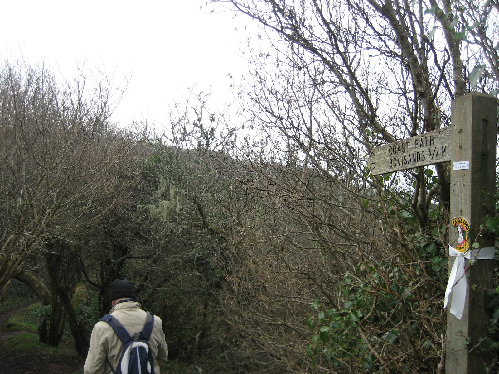
From here, through a wood and over a stream which marks the boundary between Devon and South Hams, the path skirts the coast and reveals a fantastic view of Plymouth.
A little misty, but clear nevertheless!
 |
| Plymouth Breakwater designed by John Rennie and commenced in 1811. 4,000,000 tons of stone later, it was completed in 1842. It is one mile long and on a clear day you can see Eddystone Lighthouse and the stump of the original Smeaton's Tower ( the remainder is on the Hoe) |
 |
| Fort Bovisand with Bovisand Pier |
 |
| Staddon Point Battery circa 1903/08 |
 |
| 65 steep steps up to the Staddon Point Battery |
 |
| View of Bovisand from the Staddon Point Battery |
 |
| Bovisand |
Bovisand is a corruption of Boyes Sand where ships tied up on permanent bouys moored off the beach while crews fetched fresh water from the stream flowing down the valley to the beach. Rennie built a reservoir to aid this slow process. The valley is now home to many static caravans enjoying the view.
 |
| Cottages with a view of the breakwater and Bovisand |
 |
| Fort Staddon next to the Golf Club |
 |
| The route |
A pleasant walk along the coastpath but a long drag up the hill on the road to the golf course at the top of the hill. Dave's pedometer recorded 6300 paces.
 From here, through a wood and over a stream which marks the boundary between Devon and South Hams, the path skirts the coast and reveals a fantastic view of Plymouth.
 A little misty, but clear nevertheless!